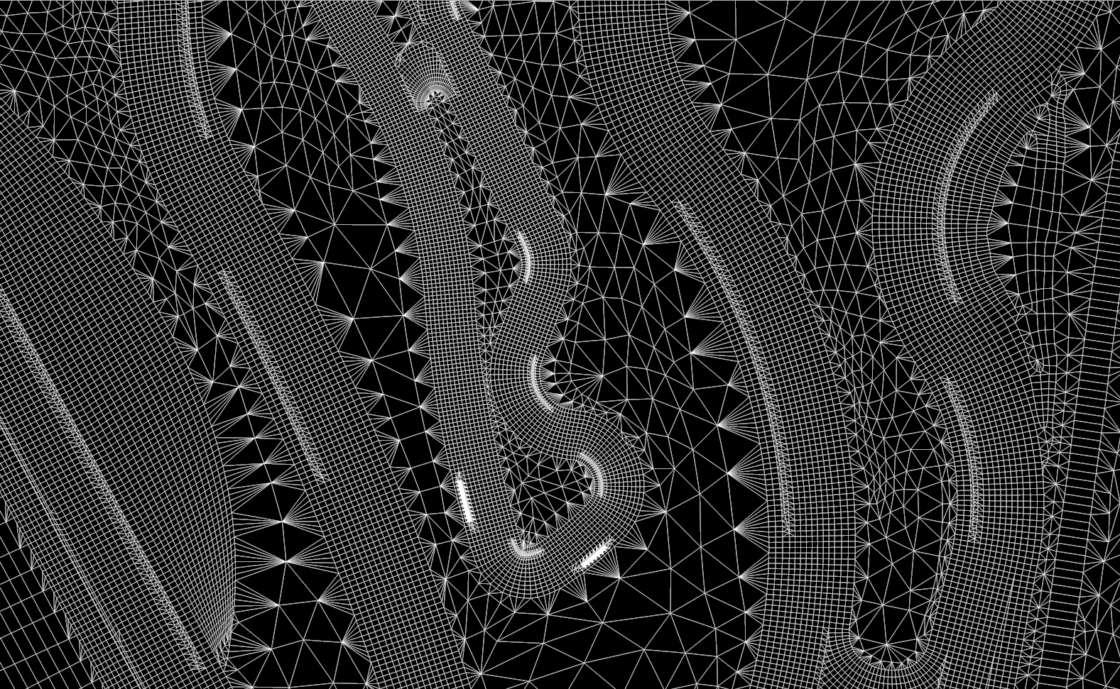
We can handle and extract validated data from virtually any input format (we support up to 300 Spatial Data formats), from CAD to GIS Datasets or Laserscan RAW files, and everything in between. You don’t have to worry about converting your files for us, or pay a service to do so. We can also provide Interchange Formats, given your Data.
Ground Data Interchange